![]()
![]()
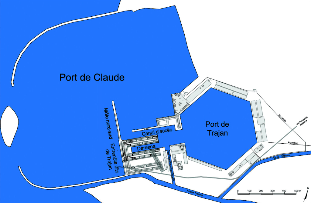
In the area around the Inner Harbour (in Italian: darsena) some partial excavations took place in the 19th century, after which rooms were sometimes buried again. Today quite a few well-preserved remains can be seen, especially the Porticus of Claudius and the Great Horrea of Trajan (Magazzini Traianei). However, the area is for the most part covered with earth and trees. Early this century the British Portus Project carried out geophysical research in the area, after which French archaeologists investigated some trenches. Towards the east the area is intersected by a north-south running modern cemetery. The western edge of the area [5-7] is discussed separately.
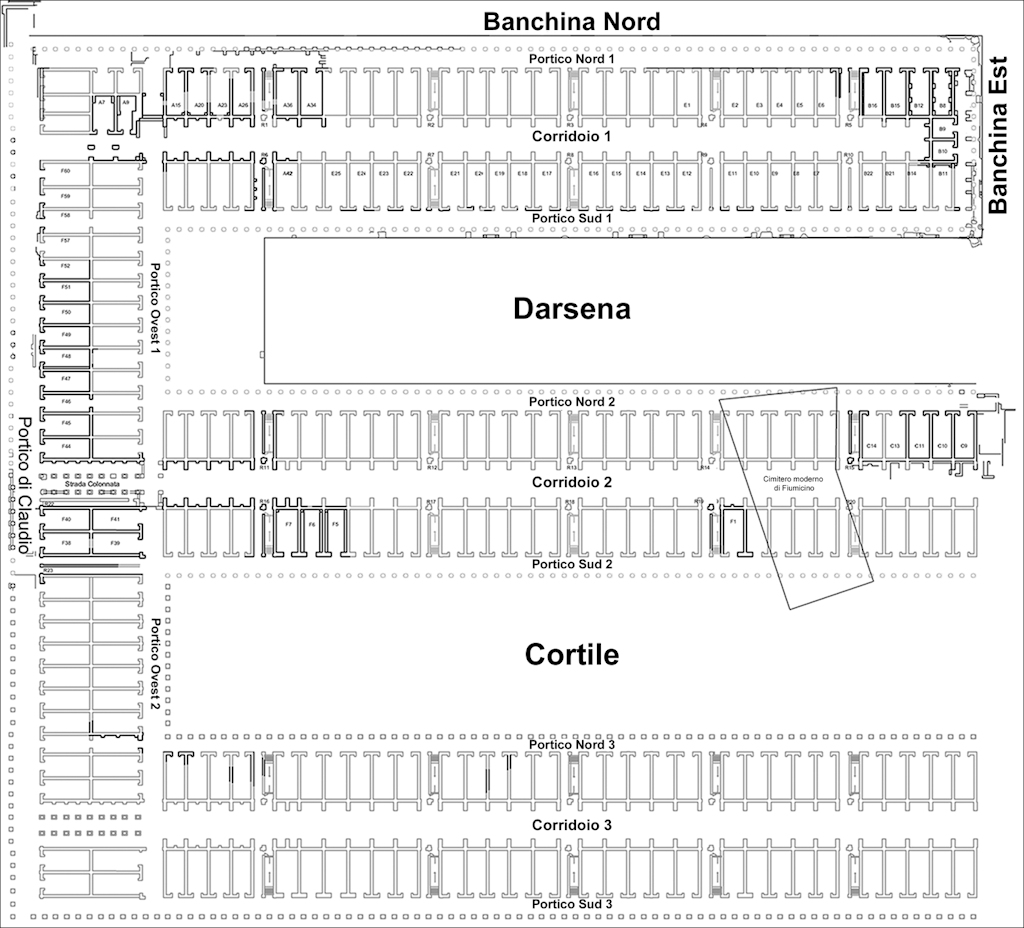
Map with the location of the area around the Inner Harbour (darsena). Image: École française de Rome.
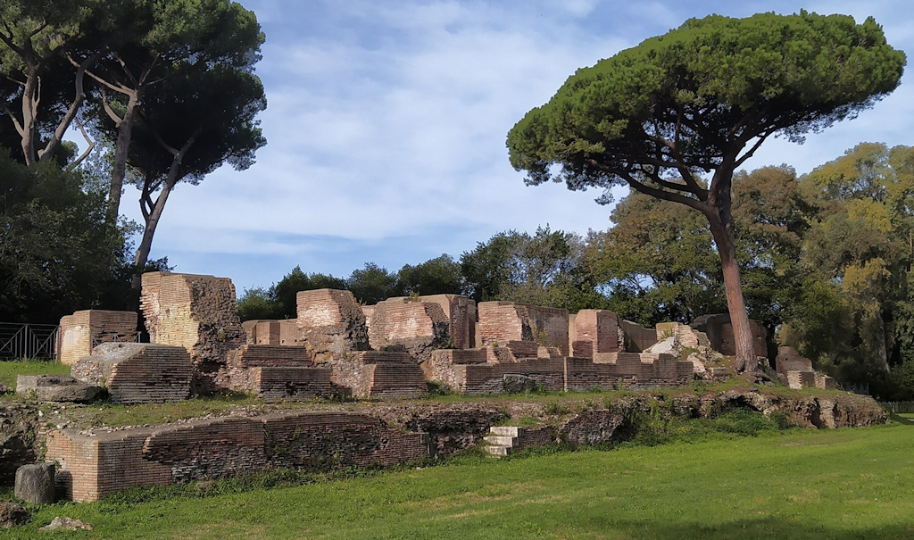
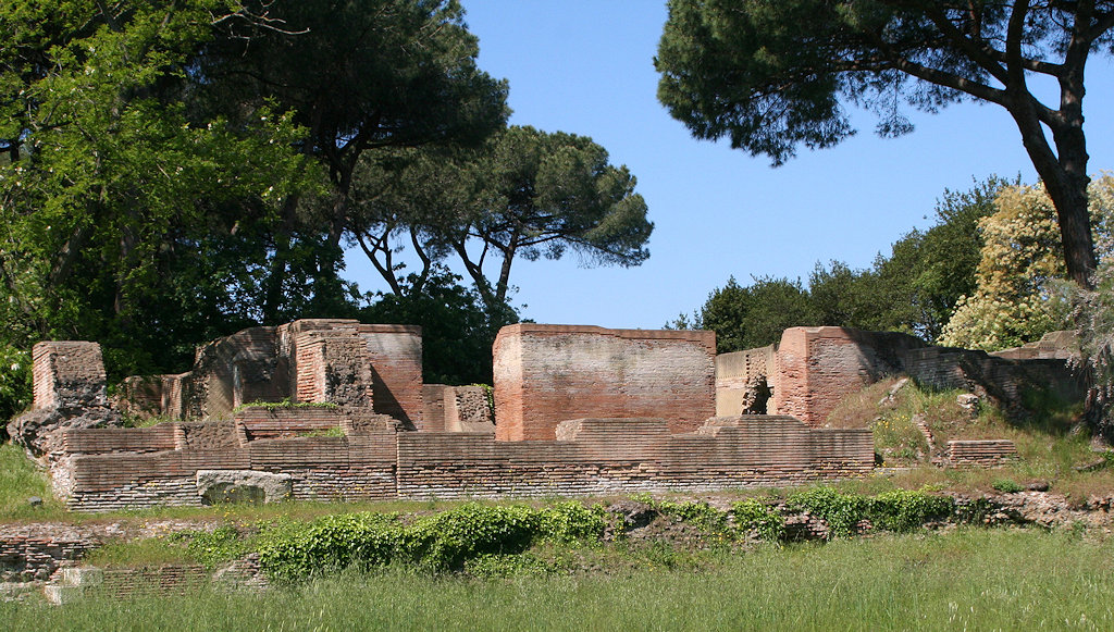
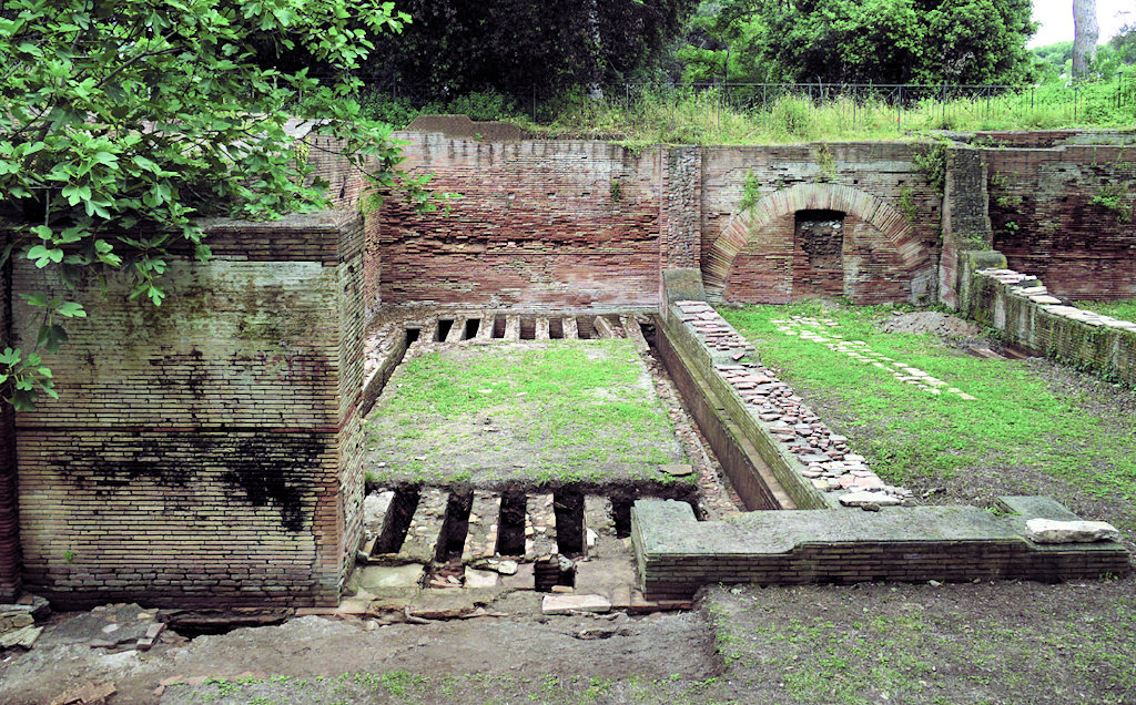
Remains of the east facade of the Great Horrea of Trajan, to the north of the Inner Harbour.
Photos: Parco Archeologico di Ostia Antica (top) and Jan Theo Bakker (bottom).It has always been clear that the area was made up of commercial buildings. In 1935 Giuseppe Lugli recognized markets with corridors, courtyards and porticos in the buildings in the east part [47-48], proposing a Trajanic date (opus mixtum), with restorations from the Severan period and with masonry from late antiquity (opus vittatum). The geophysical research performed by the Portus Project did not lead to clearly defined buildings. There may be a courtyard at the north end (5.2).
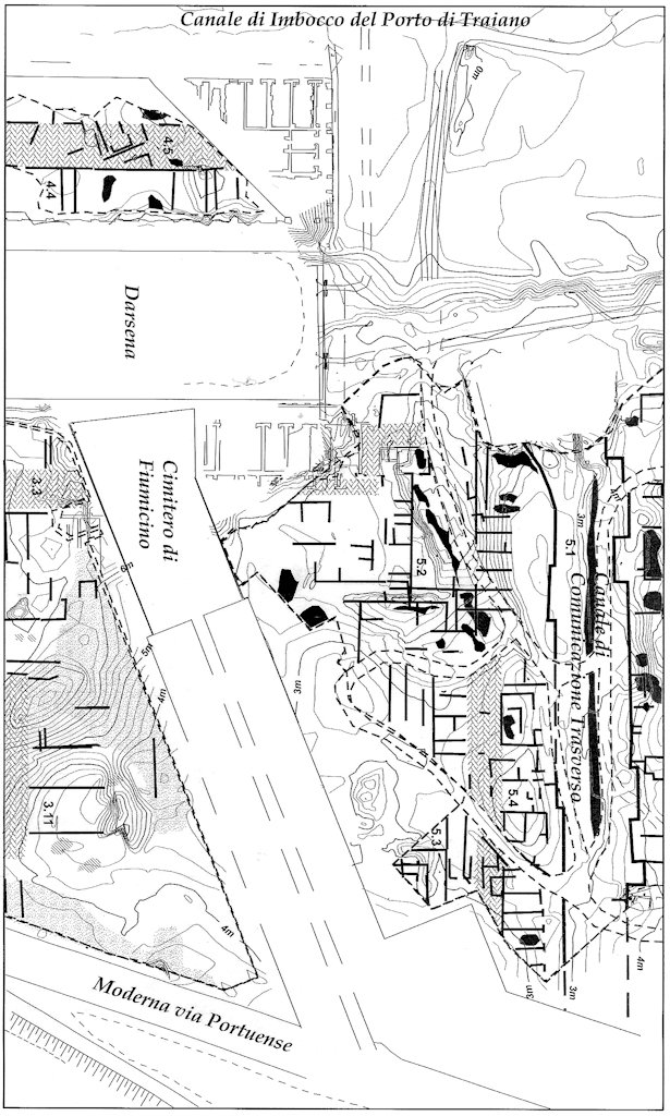
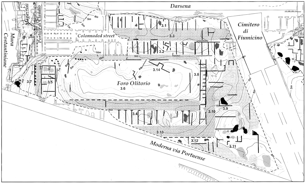
Results of the geophysical research to the east of the modern cemetery.
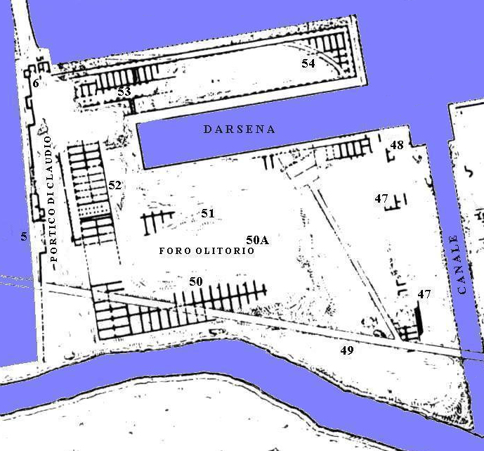
Keay et al. 2005, fig. 5.16 (area 5).To the south of the Inner Harbour, courtyards surrounded by rooms can be seen on the plans of Antonio and Mario Labacco (1559) and of Charles Texier (1858). Here Rodolfo Lanciani identified a square measuring c. 170 x 60 metres [50A]. He called it "Foro Olitorio" (Vegetable Market). Lanciani was inspired by a 16th century painting of a harbour, a copy of an ancient, lost painting. The painting has been regarded as a depiction of Portus, but it is more likely that we see Puteoli or an idealized view of a port.
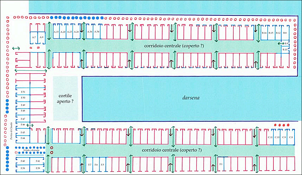
The area on the plan by Italo Gismondi from 1933.The recent research suggests that buildings 50-54 formed a single enormous storage building, including the Porticus of Claudius on the west side and the Great Horrea of Trajan to the north of the Inner Harbour. From raised floors (suspensurae) can be deduced that grain was stored here. The size of the building leaves little doubt that it was an Imperial initiative. A reconstructed plan was made by the French archaeologists. The south-east part of that plan does not seem to take the results of the earlier geophysical research into account.
Reconstructed plan of the horrea surrounding the Inner Harbour. Contino - Quevedo 2022, fig. 3.
Results of the geophysical research to the south of the Inner Harbour. Keay et al. 2005, fig. 5.10 (area 3).
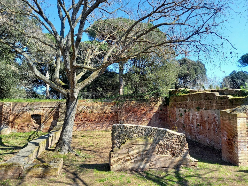
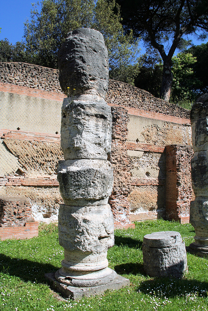
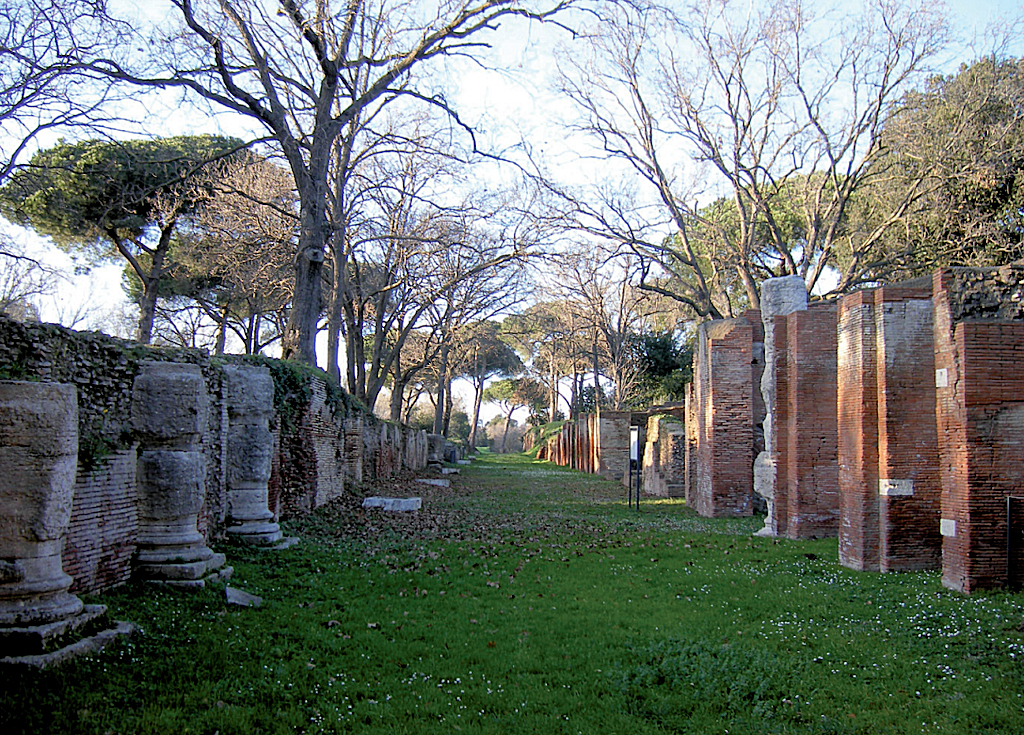
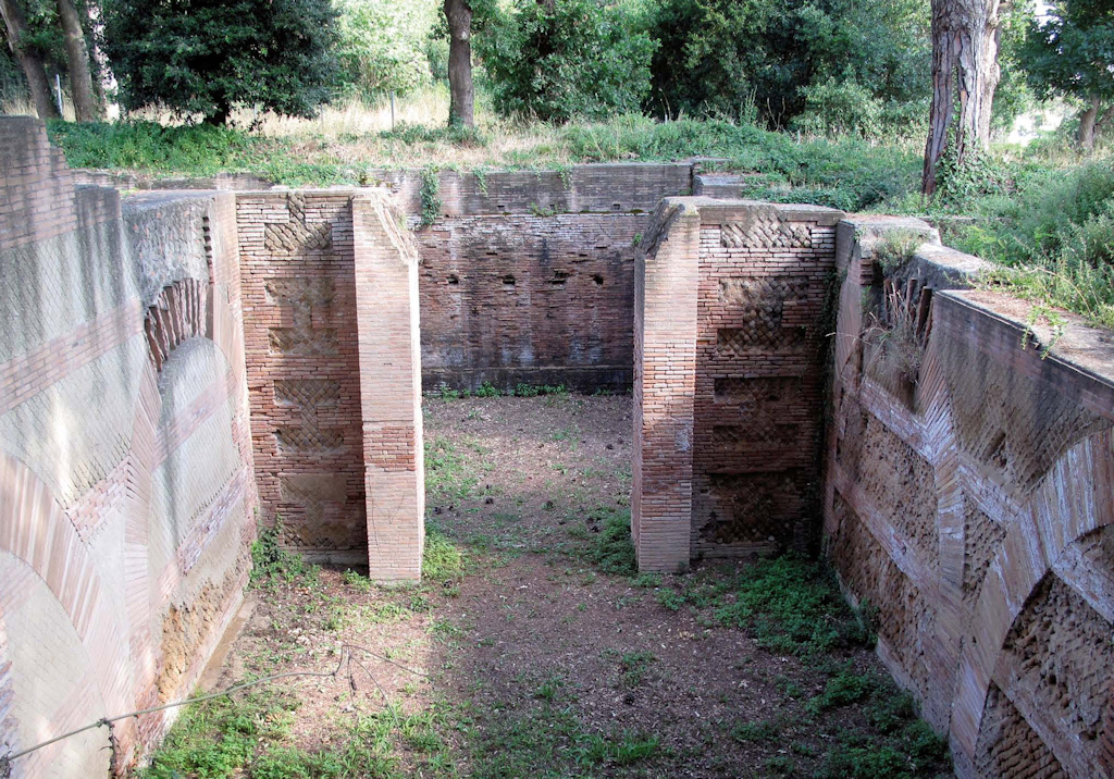
The raised floor of room F47, on the west side. Photo: École française de Rome.On the west side is the Porticus of Claudius, excavated in 1933. It was named after its remarkable travertine columns: they have a rough surface, the famous "opus rusticum" that is characteristic for several Claudian buildings. It is T-shaped, with one side along the basin of Claudius, from which a double row of colums departs to the east. The line of columns continued to the south and north, and along the north and north-east facade. Here the spaces between the columns were later blocked.
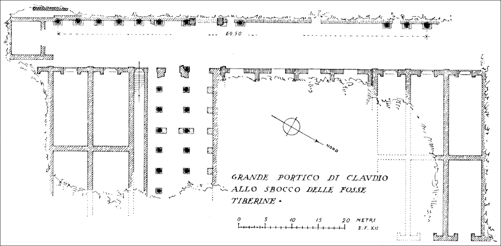
Plan of the porticus. Lugli 1935, fig. 72. North is to the right.
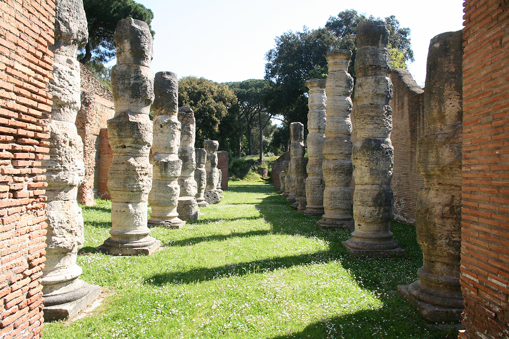
The porticus seen from the west. Photo: Jan Theo Bakker.
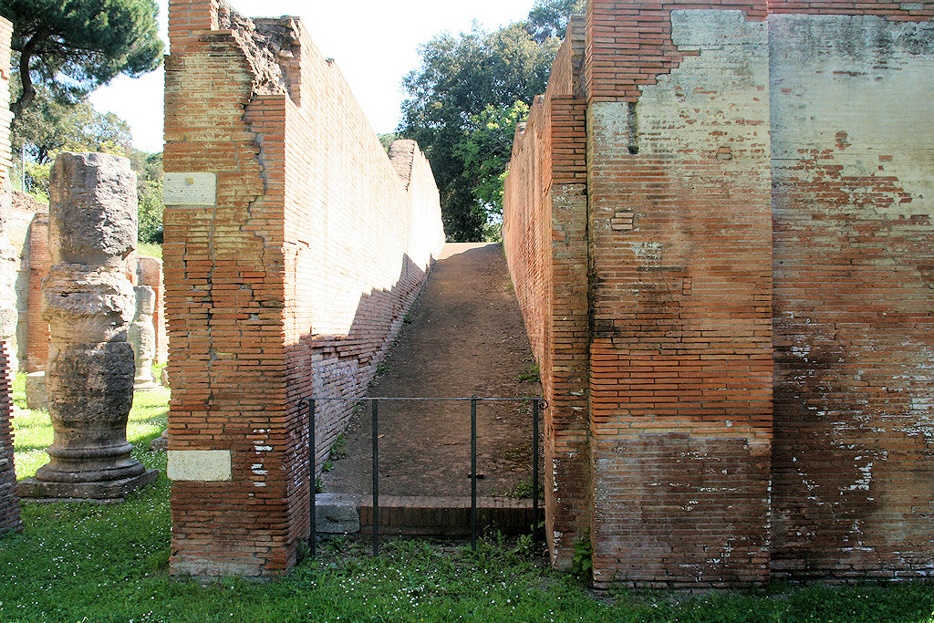
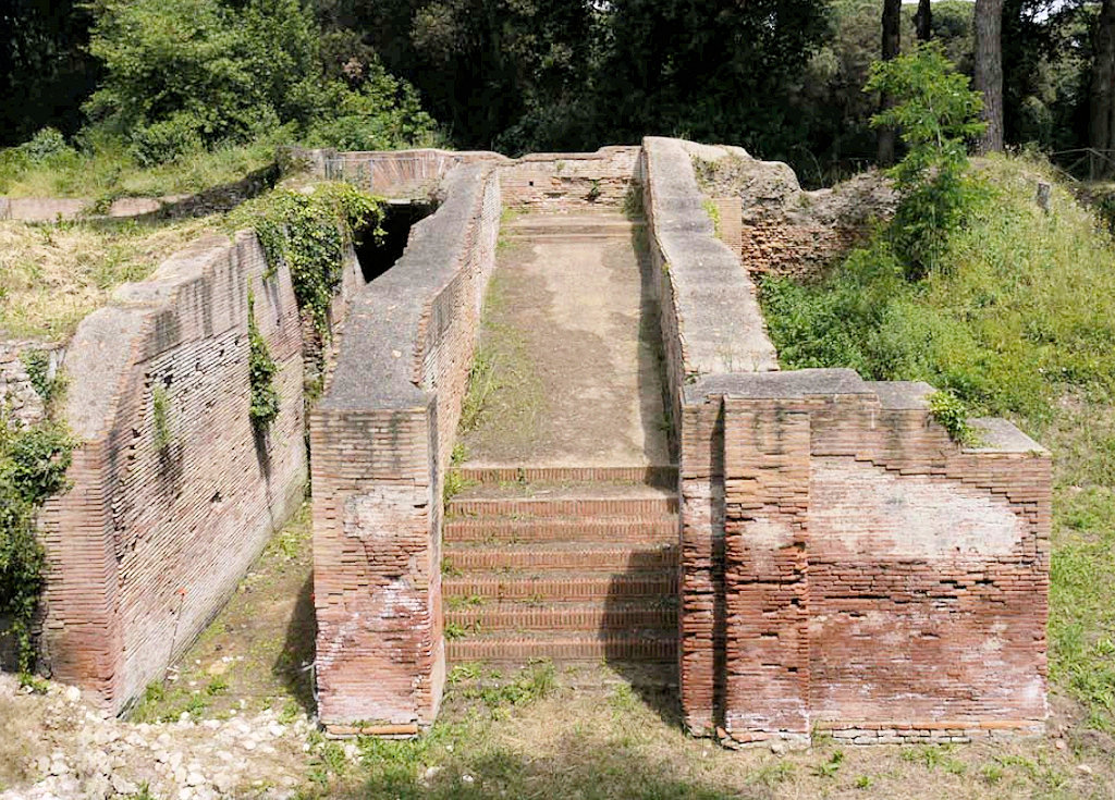
A sloping ramp for easy transport of goods to the upper floor of the horrea, seen from the west. Photo: Jan Theo Bakker.
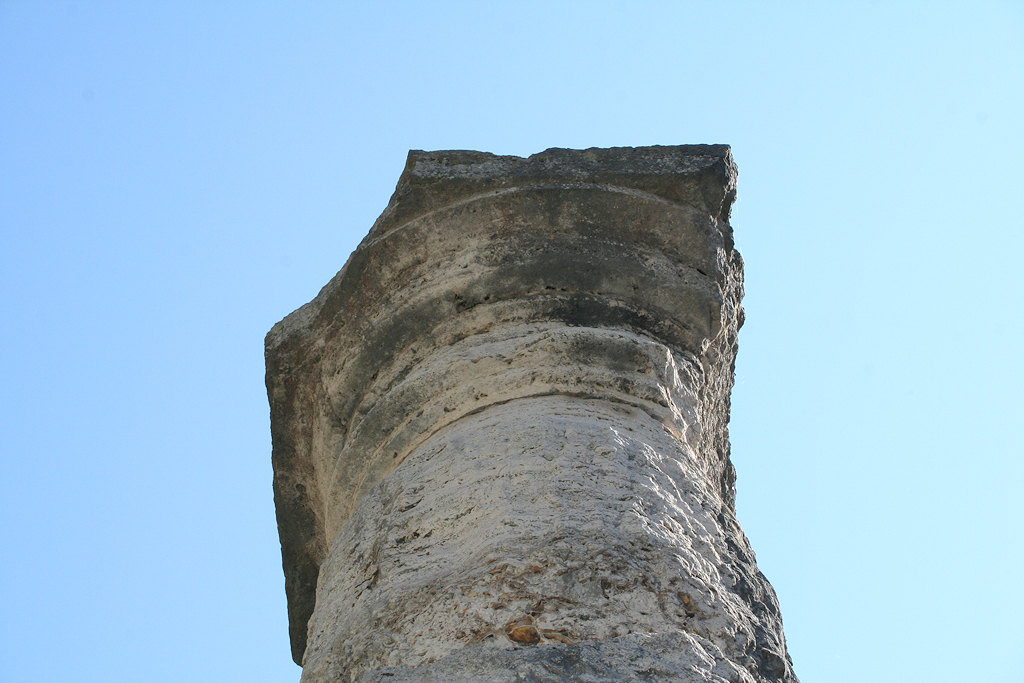
Detail of a column. Photo: Jan Theo Bakker.
Detail of a column. Photo: Jan Theo Bakker.
The side along the basin of Claudius seen from the south. Photo: Keay 2018, fig 16.
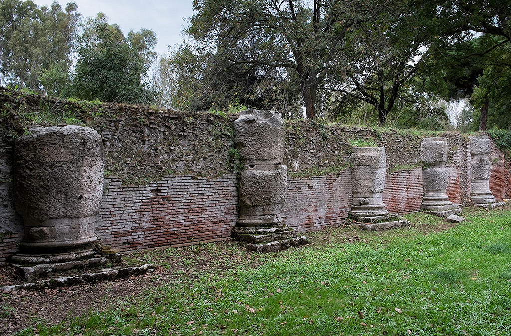
The side along the basin of Claudius. Photo: codadellacometa.it.
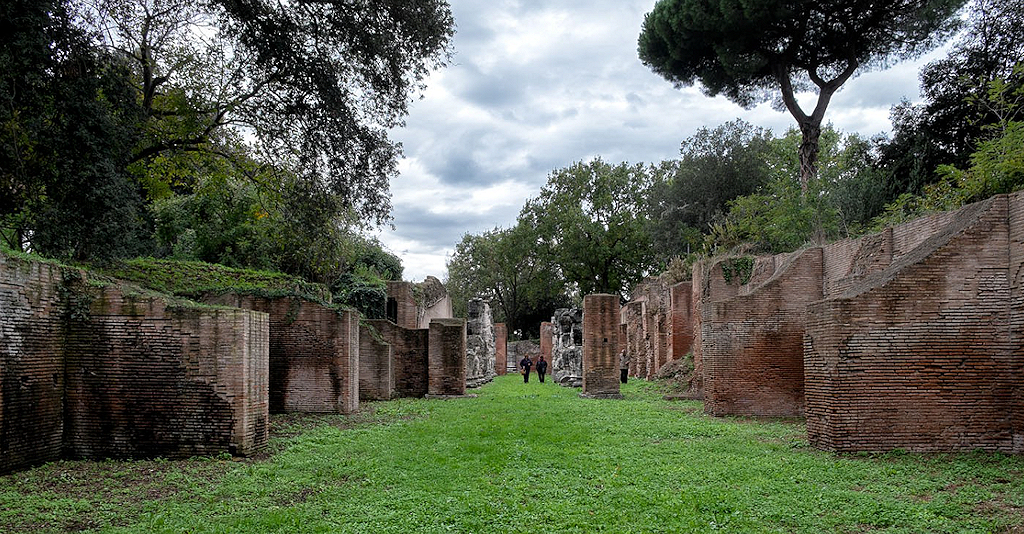
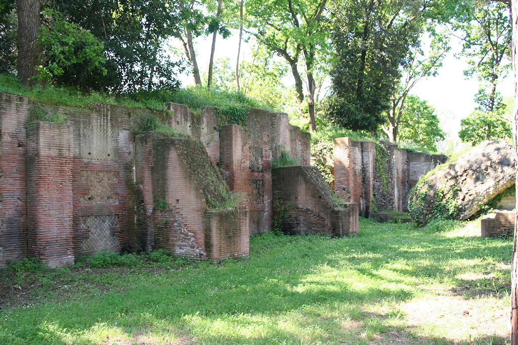
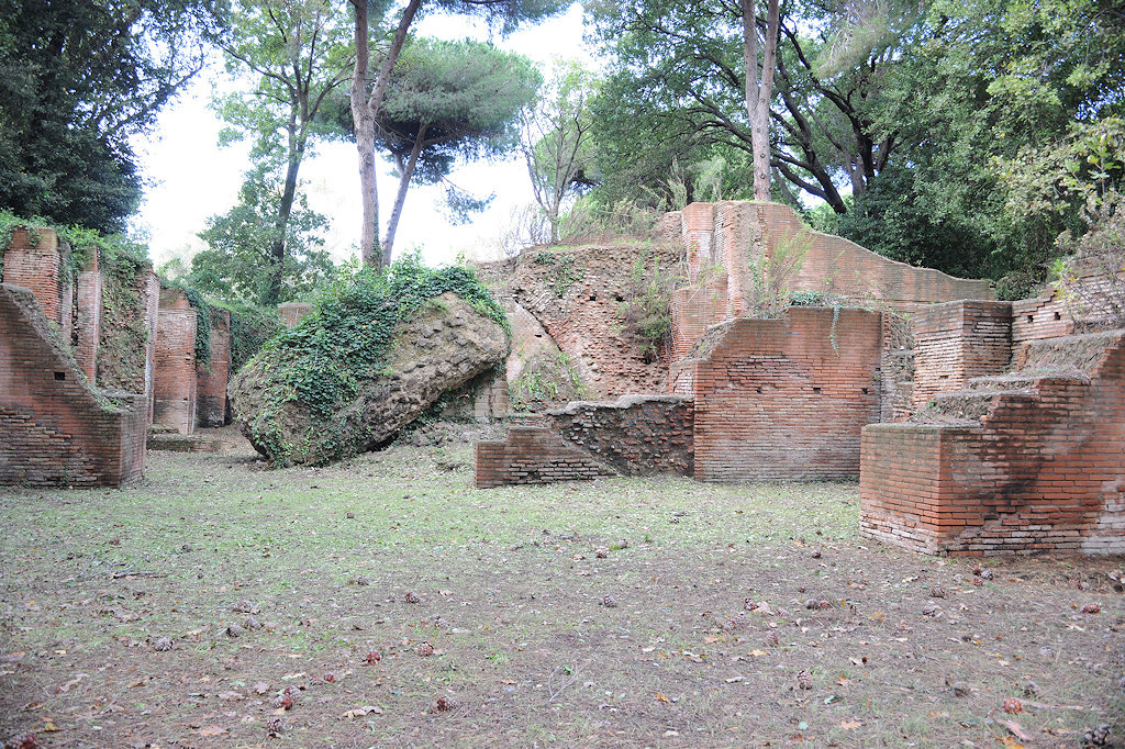
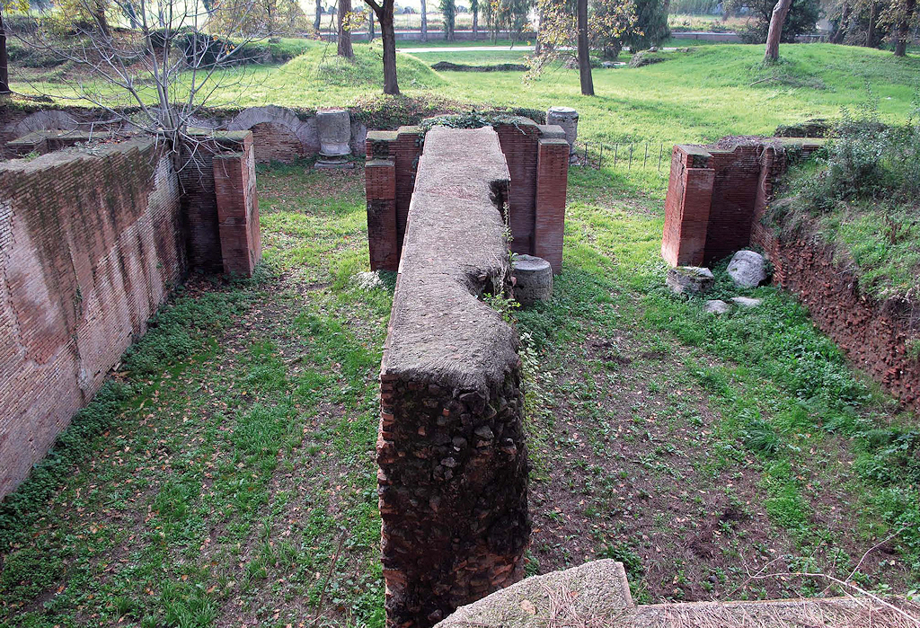
The porticus seen from the east. Photo: codadellacometa.it.The building that we see today rests on Claudian foundations, but was erected in the Trajanic period (opus mixtum). The walls have been preserved to a height of eight metres. Both the ground floor and the upper floor were used for storage, witness numerous staircases with sloping ramps. The cellae and the staircases are arranged around corridors, but face outward, towards the basin of Claudius, the Inner Harbour and channels.
The north side of the building. Plan: École française de Rome.
Photo: Jan Theo Bakker.
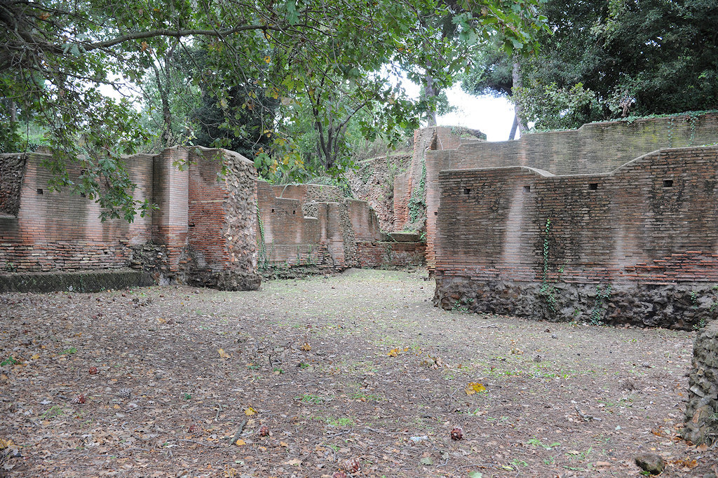
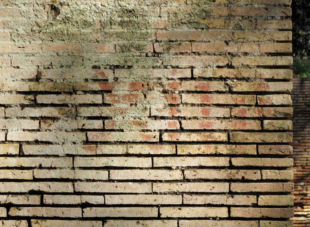
Photos: Portus Project.The rooms measure on average 13.5-14 x 6-6.5 m. and were at least 5 m. high. The doors rested on travertine thresholds and opened inward. In the interior the walls could be covered with a thick layer of waterproof cocciopesto. On one of the walls the number XIID was written on the bricks with red paint, perhaps for "cella 488", or "cella 12, sector D".
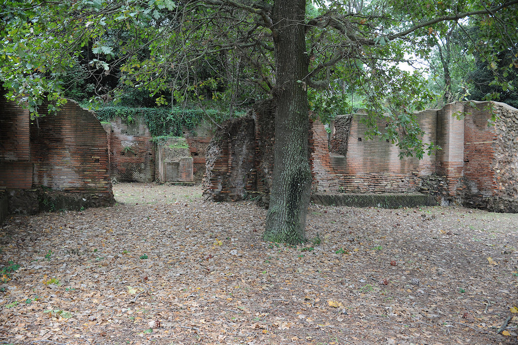
Photos: École française de Rome. Middle: room A9. Bottom: rooms F8-F10.
The number XIID on a wall of a cella. H. 0.30. Photo: École française de Rome.Later work has been dated to the Hadrianic, Antonine, and Severan period (the latter with characteristic red bricks), and to late antiquity (opus vittatum).
Photo: Parco Archeologico di Ostia Antica.Sources
In the online bibliography see the topic "Portus - buildings - Magazzini Traianei" and: Lanciani 1868, 192-193; Lugli-Filibeck 1935, 110-119; Keay et al. 2005, 82-86.
![]()
![]()